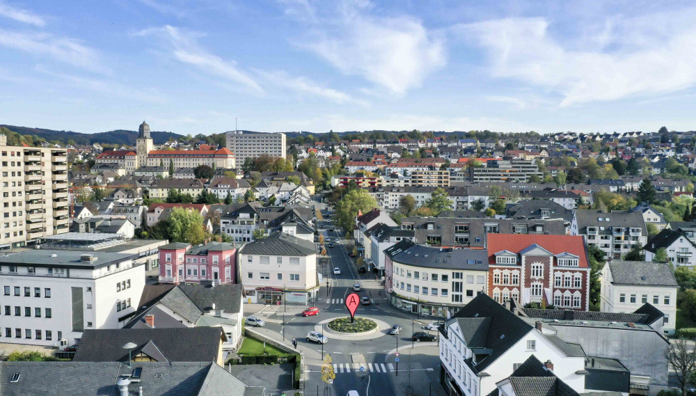
Googlemap City Center Drift
The Googlemap City Center Drift takes as its starting point the spot where Googlemaps has placed its city marker. How does Googlemaps decide exactly where the center of a city is? Is it according to the city's dimensions? Should it be city hall, the cultural center, the financial center? Where do you think the city center should be? And what are the relationships between a digital information space as perceived by a dominant geolocation service such as Google and every day urban space?
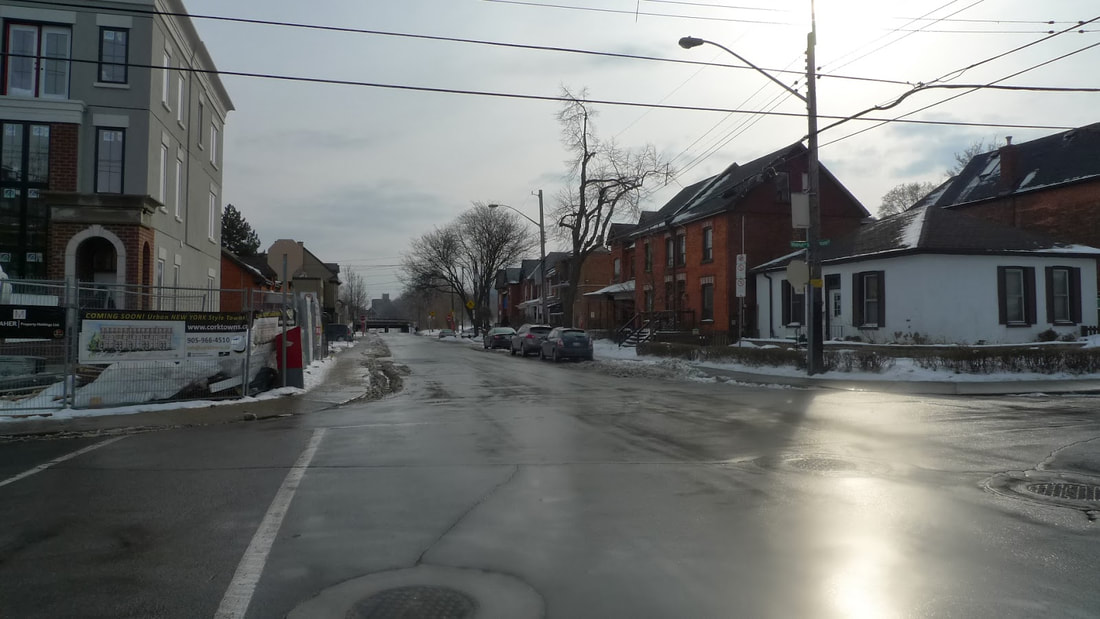
In order to investigate these urgent questions, HPU members journeyed to the location, which Googlemaps pinpoints as on Young Street, between Catherine Street South and Walnut Street South.
In order to investigate these urgent questions, HPU members journeyed to the location, which Googlemaps pinpoints as on Young Street, between Catherine Street South and Walnut Street South.
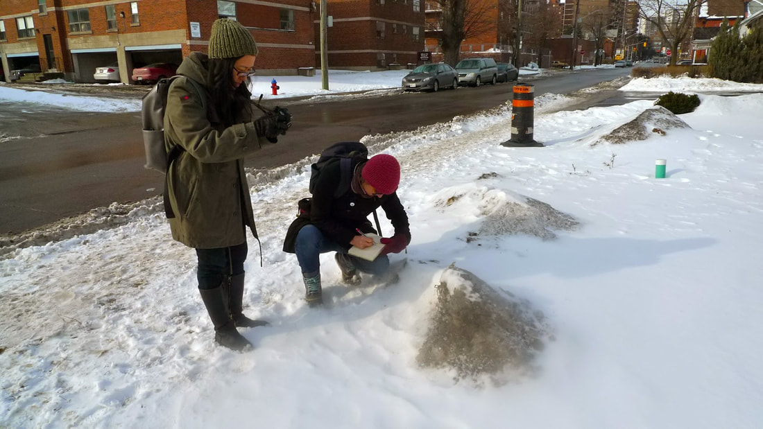
Does this place coincide with what one usually thinks of as a "city center"? We didn't think so, but then what does? We thought this mound of dirty snow could be the center.
Toronto's city marker falls just shy of its city hall, and that is certainly logical since, given the size of the city, there must be many centers. City hall is a diplomatic choice (as a symbol only however; not as a reference to the hijinks that occur within city hall these days). By contrast, I don't think Hamilton's city center is its city hall, or this snow mound on Young Street. To me, it's Gore Park, especially the corner that angles into Jackson Square. It seems that the city radiates outwards from that intersection. It is always moving, and it is always the same: colourful. But that's just me. Where do you think city center is?
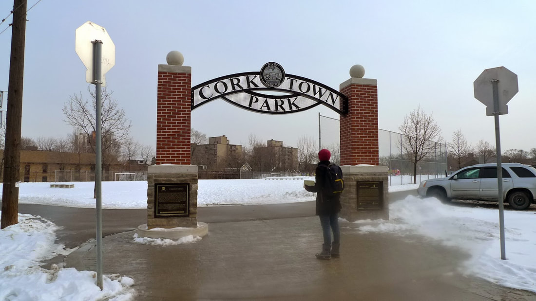
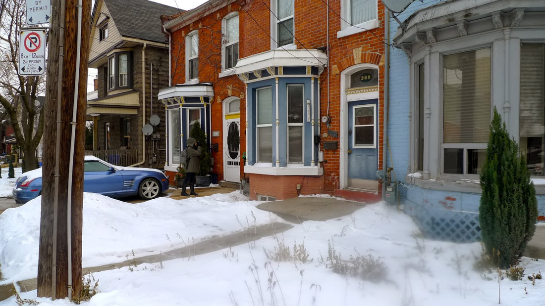
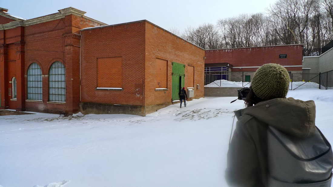
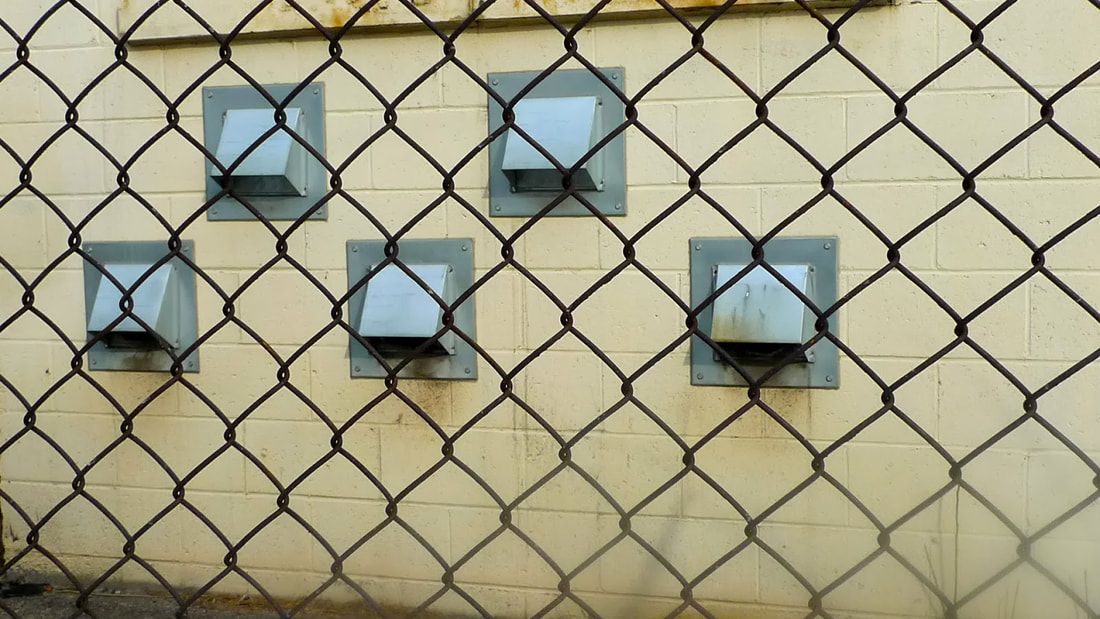
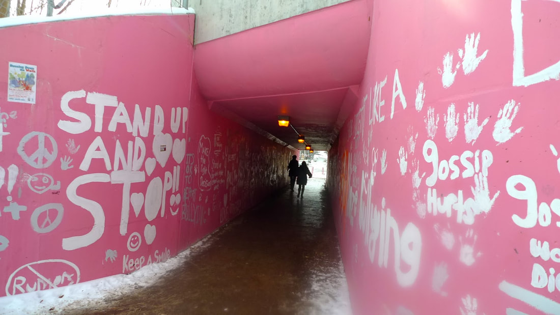
From the seemingly arbitrary spot chosen by Googlemaps as the center of Hamilton, we explored Situationist drift techniques, such as relying on our senses to guide us through the city, identifying areas of "attraction" and "repulsion" as well as "switching stations" that offer opposing directions of choice. We ended up exploring the neighbourhood of Corktown and its historic row houses and old stone buildings, the waterworks building (which we made Sarah investigate), and some interesting streets and underpasses.
From the seemingly arbitrary spot chosen by Googlemaps as the center of Hamilton, we explored Situationist drift techniques, such as relying on our senses to guide us through the city, identifying areas of "attraction" and "repulsion" as well as "switching stations" that offer opposing directions of choice. We ended up exploring the neighbourhood of Corktown and its historic row houses and old stone buildings, the waterworks building (which we made Sarah investigate), and some interesting streets and underpasses.
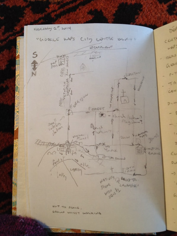
This is the map Sarah made while we were walking, indicating switching stations, the flows and areas of attraction and repulsion.
The idea for the Googlemap City Center Drift was influenced by artist Aram Bartholl's project Map, which places giant red Google placemarkers, twenty feet high, in places designated as city center.
Aram Bartholl, Map, 2006–2019
The beginning point of this walk is more or less arbitrary, as so it seems the Googlemap designation of city center. But the idea of center and margin is always usefully challenged by inquiry into these terms, along with a healthy sense of urban adventure that gets you out into the city, exploring. It could be as simple as a blind jab at a map to designate a starting point.
The beginning point of this walk is more or less arbitrary, as so it seems the Googlemap designation of city center. But the idea of center and margin is always usefully challenged by inquiry into these terms, along with a healthy sense of urban adventure that gets you out into the city, exploring. It could be as simple as a blind jab at a map to designate a starting point.
